Is the Recent Cluster of Southern California Earthquakes a Sign of the Impending ‘Big One’? Here’s What We Know
Southern California has experienced 13 significant tremors this year, with the most recent shaking residents on Monday.
Although a recent cluster of larger earthquakes in Southern California may have caused concern among residents, one seismologist suggests that it does not necessarily indicate an increased likelihood of a more destructive quake occurring soon.
Lucy Jones, a seismologist at the California Institute of Technology in Pasadena, reported that the region has experienced 13 earthquakes of magnitude 4.0 or higher this year, which is higher than the average of five per year over the past two decades.
From 1932 onwards, the area generally records around 10 to 12 magnitude 4.0 quakes each year.
According to the expert, the recent earthquake activity does not necessarily indicate a higher risk of a major quake in the near future.
The most recent significant earthquake in the area occurred in Highland Park, about 6 miles northeast of Los Angeles, on Monday at 12:20 p.m. and was felt throughout the region.
In Pasadena, near the epicenter, a water line broke at Pasadena City Hall, causing water to gush out of a pipe on the building’s exterior. Employees were evacuated temporarily.
She described Monday’s earthquake as originating from a fault with a shallow dip, similar to the 1987 Whittier Narrows earthquake with a magnitude of 5.9.
This quake occurred less than a week after a 5.4 magnitude tremor hit the Bakersfield area on Aug. 6, felt across much of the southern region of the state.

This earthquake was significant enough to prompt Los Angeles County Supervisor Kathryn Barger to emphasize earthquake preparedness to the public.
“Today’s [earthquake] is a good reminder that we should practice lifesaving actions during an earthquake: drop, cover [and] hold on,” Barger posted on social media Monday. “It’s also a reminder that we live in [earthquake country] so we need to be prepared.”
“There’s a very high probability—and our maps show it—for large earthquakes to occur in California,” Petersen told The Epoch Times at the time. “It could be in 100 years, or it could be 50 years.”

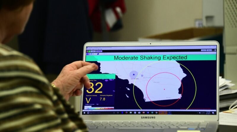
USGS has developed a new capability to quickly identify large earthquakes using satellites to monitor earth-surface movement, leading to the creation of the ShakeAlert System.
This system is utilized by agencies in California, Oregon, and Washington to send alerts to cell phones just before an earthquake, triggering actions like slowing down trains and opening firehouse doors to prevent accidents.
With the addition of Global Navigation Satellite System sensors, the system can alert residents faster and provide more accurate information on the magnitude and affected area of larger earthquakes, according to the USGS.


