What to Expect as Snow, Freezing Rain, and Extreme Cold Move Across Much of the US
A significant winter storm commenced on Saturday across the central United States and is anticipated to progress eastward over the next few days, bringing heavy snowfall, considerable ice formation, and frigid temperatures, as reported by the National Weather Service.
Here’s what you need to know about the storm that is set to impact millions in the eastern two-thirds of the nation:
Formation of a Major Winter Storm
A substantial weather system made its way ashore along the West Coast on Friday afternoon, resulting in rainfall across the Pacific Northwest and snow forecasted in the Cascade Mountains, according to meteorologists.
This system is expected to give rise to a major winter storm that will stretch from the Central Plains to the Mid-Atlantic, impacting the region from this weekend into early next week.
Snowfall Across the Central Plains Moving Eastward
By Saturday evening, widespread heavy snow is predicted in areas spanning from central Kansas to Indiana, particularly along and north of Interstate 70, where there is a strong likelihood of accumulating at least 8 inches of snow.
In localized regions that typically report higher snow totals, this could be the heaviest snowfall witnessed in a decade, meteorologists indicated.
The storm will then shift into the Ohio Valley, where severe travel disruptions are anticipated, before reaching the Mid-Atlantic states from Sunday into Monday.
Likelihood of Blizzard Conditions
Wind gusts exceeding 35 mph combined with intense snowfall rates could result in blizzard conditions, especially in Kansas and the surrounding areas of the Central Plains by Sunday morning.
Whiteout scenarios could render driving perilous or even impossible, increasing the chances of people becoming stranded.
Freezing Rain Predicted From Eastern Kansas to the Ozarks
Icy road conditions were already causing traffic disruptions in Kansas on Saturday, and meteorologists cautioned that sleet and freezing rain could spread into Missouri, Illinois, Indiana, and much of Kentucky and West Virginia.
Related Stories


Power outages are anticipated in areas where ice accumulation exceeds a quarter of an inch.
“It’s going to be a disaster, a potential mess,” said private meteorologist Ryan Maue.
Arctic Cold Air to Sweep Down to Florida
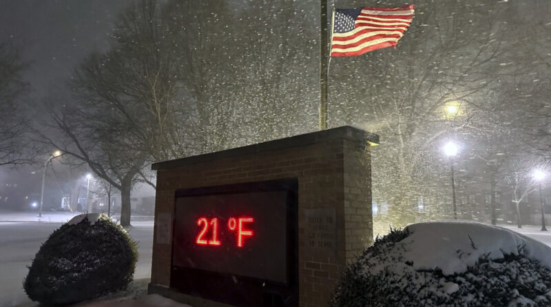
Beginning Monday, residents in the eastern two-thirds of the country will experience dangerously cold temperatures and biting wind chills, forecasters predict.
Temperatures may drop 12 to 25 degrees Fahrenheit below normal as the polar vortex extends down from the high Arctic.
“This could potentially result in the coldest January for the U.S. since 2011,” stated Dan DePodwin, AccuWeather’s Director of Forecast Operations, noting there could be a week or more of temperatures well below historical averages.
The most significant temperature drop is expected in the Ohio Valley, but notable cold will extend as far south as the Gulf Coast, according to Danny Barandiaran, a meteorologist at the National Weather Service’s Climate Prediction Center.
A hard freeze is even predicted for areas in Florida, he added.

