California Prepares for Dual Storm Systems Bringing Rain and Snow
Experts predict that ‘the largest storm window of the season’ will deliver several inches of snow to California’s mountains.
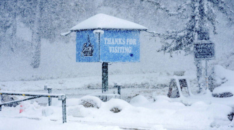
A major storm series for this winter is on its way to California and could deposit numerous inches of snow in the mountainous regions, as reported by weather forecasters on March 10.
The forecast also includes a chance of thunderstorms on Wednesday afternoon, the weather service cautioned.
According to the National Weather Service forecasters, the southern region may see up to three inches of snow above 4,500 feet on Monday and Tuesday, with an additional one to two feet of snow expected above 6,000 feet on Wednesday and Thursday.
Related Stories


The area may also experience up to half an inch of rain on Monday and Tuesday, followed by an additional two to four inches on Wednesday and Thursday.
A flood watch has been issued for lower-lying regions, and a winter storm watch is in effect for the mountains.
“The largest storm window of the season is here,” declared the snow lab located at Donner Pass near Lake Tahoe on social media. A steady stream of storms over the next 7-10 days has the potential to accumulate over eight feet of snow, according to the lab.

A motorist attempts to navigate the mud-covered intersection at Sunset Boulevard and Pacific Coast Highway, adjacent to the Palisades Fire zone, during a storm in Malibu, California, on Feb. 13, 2025. Agustin Paullier/AFP via Getty Images
“The biggest storm days are projected to be Wednesday and Sunday,” the lab continued. “It’s still too early for precise estimates, but we’ll be monitoring it closely.”
Rain is also anticipated to return to San Diego County with more intense and wet conditions expected by Wednesday. The heaviest rainfall is predicted to occur Thursday morning, as per the National Weather Service.
The city of San Diego began installing “no parking” signs on Monday in low-lying and flood-prone areas. City workers also started clearing storm drains and inlets known for debris congestion.
“We understand how impactful heavy rain can be, and our aim is to ensure that both the city’s stormwater infrastructure and our residents are prepared for the anticipated weather,” stated Todd Snyder, Director of the Stormwater Department.